
Support autonomous features in all weather conditions with Klimator
Never permit perilous road weather to jeopardize the safety or operability of vehicles. Klimator's road weather intelligence is a critical component when connecting the surrounding environment to the vehicle, bridging the gap between nature and innovation. Resulting in information enabling proactive AD and ADAS systems and next level of safety.
Supporting the next generation of safety
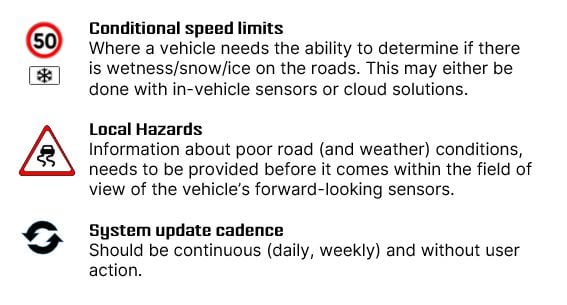
Get Euro NCAP points with Klimator
The 2023 Euro NCAP assessment protocol introduces awarding points for the inclusion of road weather condition intelligence in the following areas:
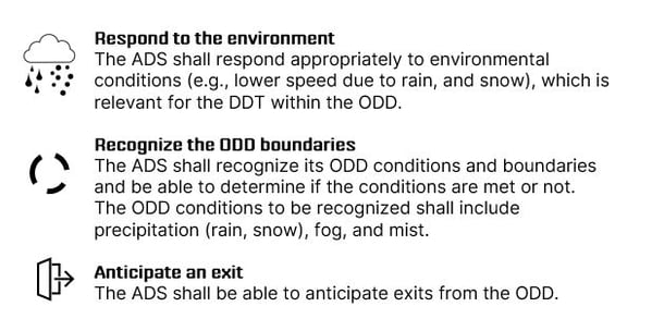
Meet EU legislation with Klimator
The EU legislation 2022/1426 for Autonomous Driving is requiring an autonomous vehicle to have information on the road weather conditions in the following aspects:
RCD
Current and forecasted road weather data
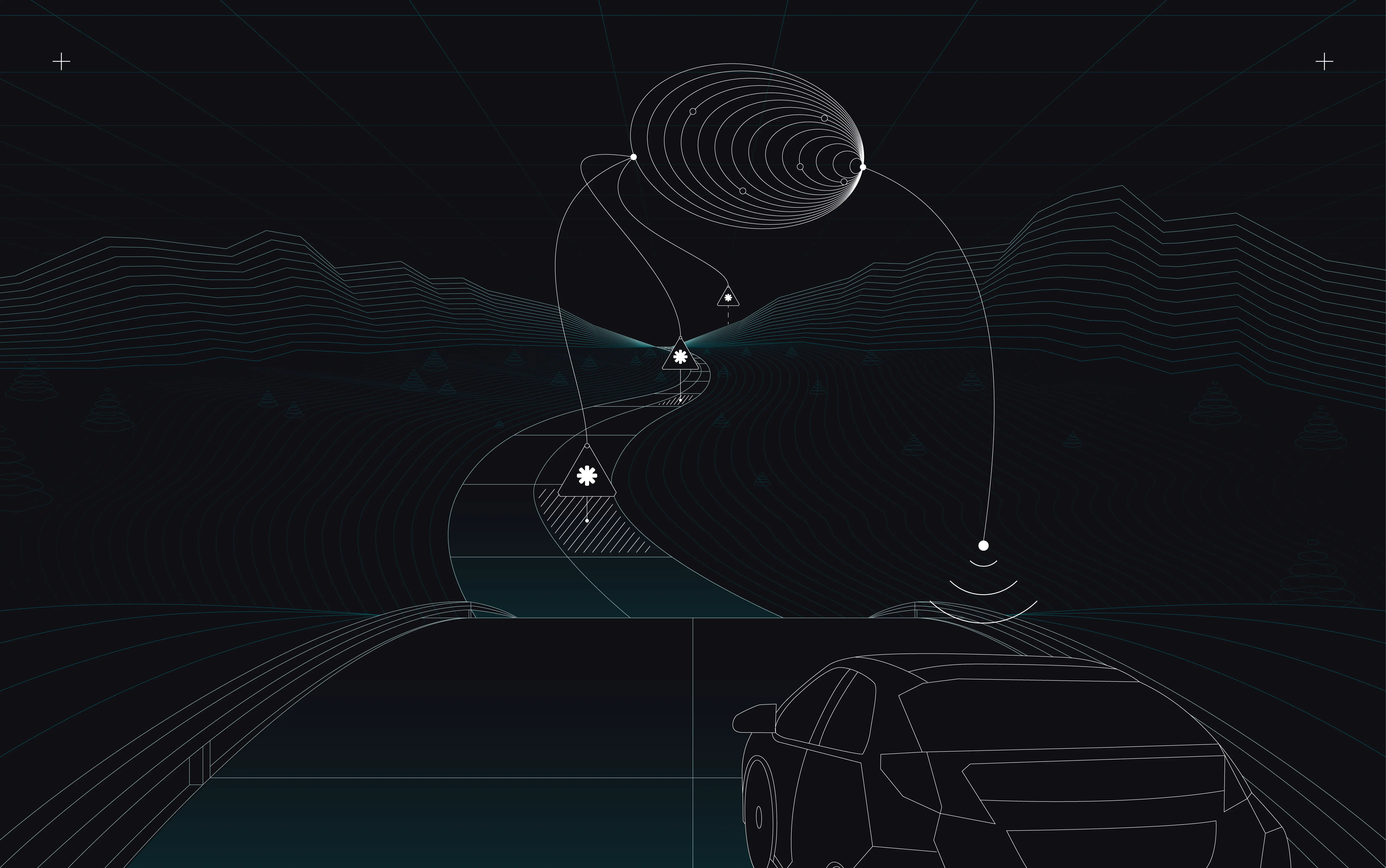
RCD is a cloud-based solution providing information about the current and forecasted road weather on an entire road network. RCD has the unique ability to unleash world-leading forecasts, based on 30 years of research, that allows the vehicle to see beyond the line of sight. Automakers use RCD to empower AD and ADAS systems with proactive insights.
- Road network coverage independent of vehicle coverage
- A data aggregation method with the ability to integrate new data sources
- World-leading resolution with data on segments lengths varying between 25m - 250m
- Possibility to plan and act provocatively with 18h forecast
AHEAD
Road weather detection technology
Road weather detection that allows the vehicle to act on what’s AHEAD while in motion, enabling proactive driving – replacing unsafe reactive driving. Klimator’s AHEAD solution is an embedded sensor fusion technology providing extensive real-time information about the prevailing road surface.
- Developed over 10 years
- Combines ML and ruled-based algorithms
- Embedded sensor fusion technology
- Covers entire lane
- Combines a global and local model
- Provides the system with data to act proactively
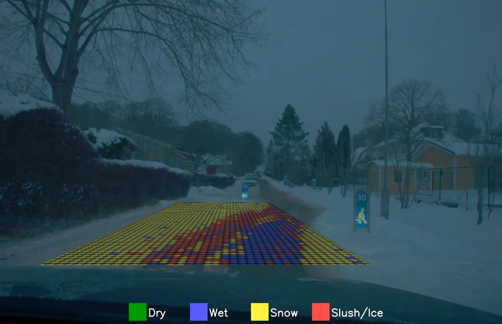
Eliminate uncertainty with AHEAD
The best way to prevent unsafe driving is to equip vehicles with technologies that support proactive motion, instead of relying on reactive measures. AHEAD enhances the operability of the onboard system by feeding continuous data streams on the prevailing road surfaces AHEAD, enabling the vehicle to act in the right way, at the right time.
- Range - 50 m in front of a vehicle
- Provides a high-resolution grid map with 10x10cm grids for the entire FOV and range

Increased Driver Information
Visualization of slip risk in driver information system
-
Hazard warning
-
Map visualisation
-
Conditional Speed Limits
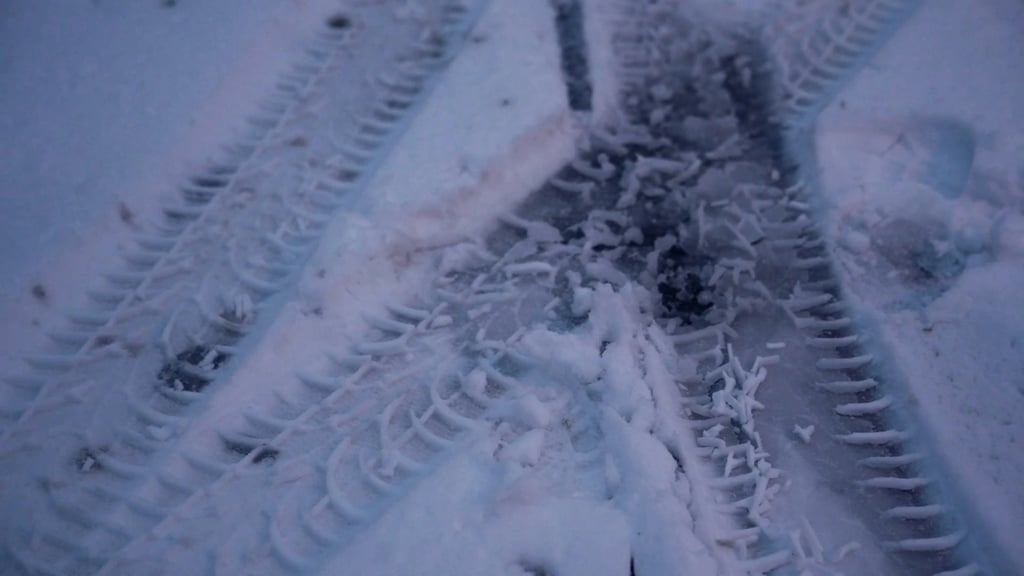
Enhanced ADAS
functionalities
Enable intelligent ADAS solutions in ”non-dry” conditions
-
Intelligent Speed Assistance (ISA)
-
Regenerative braking

Safe and scalable AD
Enable safe scalability of AD
-
Operational Design Domain (ODD)
-Determine if the vehicle is within the ODD
-Detect the boundaries of the ODD
-Anticipate an exit of the ODD
-Extend the ODD
-
Motion control and planning
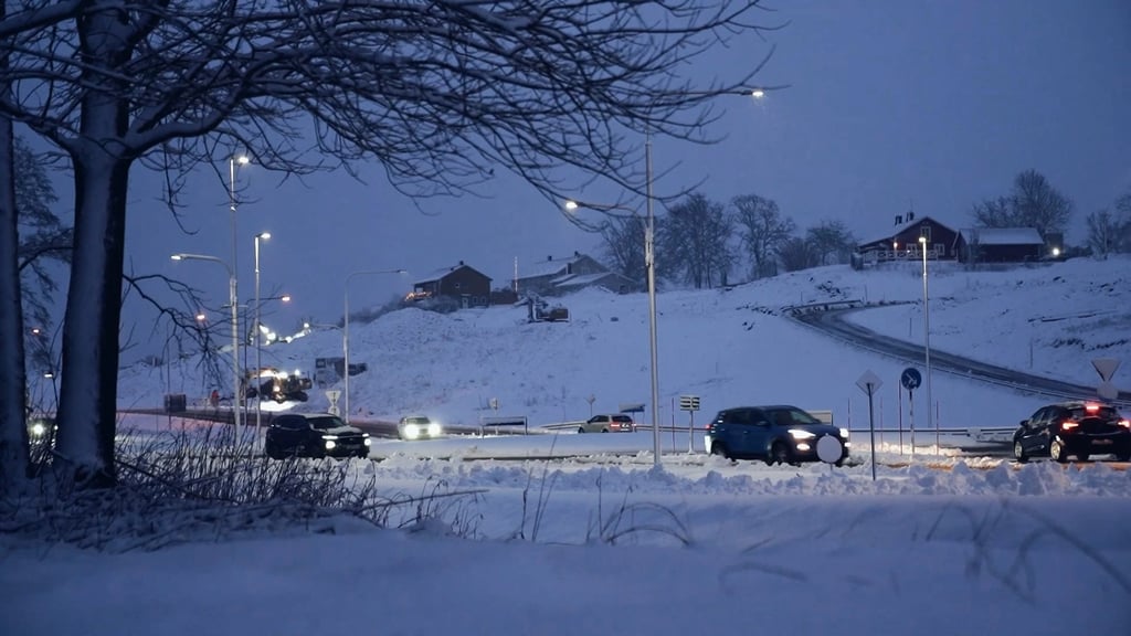
Optimization
Enable more efficient driving
-
Fleet orchestration
-Route planning
-Consumption prediction -
Power train optimization
-
Predictive energy management
-Consumption prediction
-Motion planning
Customer stories
Most frequently asked questions about RCD & AHEAD
Our base model has global coverage and our enhanced model covers the majority of Europe as well as critical areas in the US. We are continuously expanding our enhanced model coverage. Contact us for more information on the exact areas.
Our models are built and developed on the knowledge basis of road climatology, using a combination of ruled-based algorithms and machine learning to find correlations between road surface, surroundings, and the micro-weather. Vehicle data is not a required input to obtain the necessary and valued output. However, vehicle data can be a useful input in real-time cross-validation, which we often employ when working with OEMs.
We validate in numerous steps, both qualitative and quantitative. The overall approach we employ is out-of-bag cross-validation - which we do on every forecast and for every station, continuously and on the entire road network. We also employ qualitative validation with laser data for selected road stretches and periods.
With our unparalleled legacy within road climatology research, being the founding entity of the topic, we have know-how no other can contend with. Important to understand is that we apply our knowledge for our customers to gain a fundamental understanding of the prevailing and future road conditions and not the general weather, which many other market actors sell in sophisticated, but essentially ineffective, packages.
Our abilities have resulted in a unique set of USPs that we proudly highlight:
- Unique resolution of 25-250m road segments
- Full coverage 0-18h forecast over a complete road network
- One global specification
- Broad coverage
- 15 min forecast update
- Map agnostic
- Ability to integrate new data sources
- Proactive data instead of reactive data
- Data that goes RCD the line of sight - providing critical information at the right time
Accuracy can be determined once the scope of service, requirements, and definition of accuracy is established with OEM. Also, requirements on accuracy tend to vary depending on the use case. Contact us for more information.
Klimator is foremost a software company. However, for testing and after-market applications we provide a hardware setup, which may be seen below. In automotive serial production applications, customers acquire sensors on their own according to our specifications.
NIR laser
Yes, in theory. But practically it is not advised, as recalibration needs to be performed as well as reinstallation, resulting in higher costs and ineffective project execution.
Installation and calibration (predefined calibration routine).
The road is seldom homogenous, as the wheel tracks usually have a different road condition that the rest of the road surface. Hence, we need two laser points to cover the two areas of interest, in the wheel track as well as in between. This provides us with a good data set that represents the prevailing condition of the road surface AHEAD of the vehicle.
Depends on the conditions. But in good conditions, we have a range of approximately 50 m.
Europe, Japan, the US
Yes, we have multiple ongoing projects combining these technologies.
Featured articles
What is hoar frost?
We asked our climatologist Yumei Hu, PhD a couple of quick questions on the beautiful...
Weather affects the formation of slippery conditions
We have collected a couple of examples of different weather situations based on how they...
Why do slippery roads occur?
Most of us understand that some parts of a road are more slippery than others. But we...


